These maps are available on the Library of Congress American Memories Panoramic Maps website. They are
provided here in a format that is easier to save and
print.
Each map is displayed in a small format (450 pixels) which, when clicked, brings up a larger (1200 pixel) size. You can't read much in that size, but it helps getting oriented. A larger size in one piece (2400 to 3000 pixels) can be downloaded by those with high speed connections or a lot of patience. The same larger image is also available in three or four sections that will overlap slightly. These are not only designed for easier download, but for printing. For best results, open the images in a graphics program for printing. Following each is the link to the Library of Congress page where the original can be viewed in the original size, but only in sections when zoomed on that website.
Larger map (1.5MB); Left side; Center; Right side
Carbondale 1890
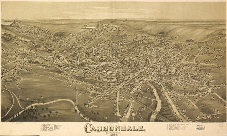
Larger Map (2MB); 4 Sections - left to right: First; Second; Third; Fourth
Dunmore 1892
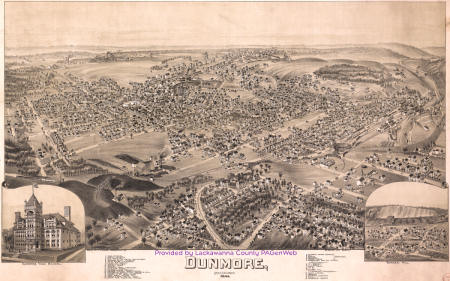
Larger Map (2MB); 4 Sections - left to right: First; Second; Third; Fourth
Elmhurst 1891
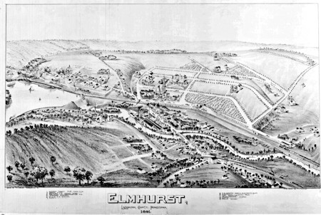
Larger Map (3MB)
Jermyn 1889
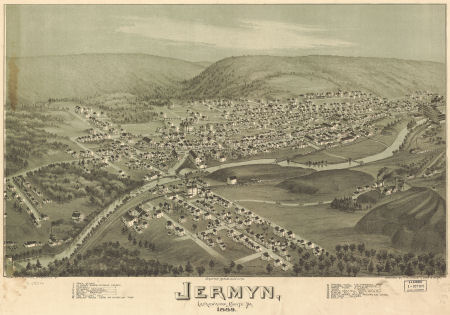
Larger Map (1.3MB); Left; Center; Right
Moosic 1892
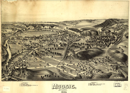
Larger Map (1.3MB); Left; Center; Right
Moscow 1891
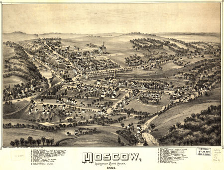
Larger Map (1.7MB); Left; Center; Right
Pittston and West Pittston 1892
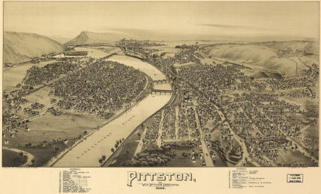
Larger Map (1.4MB); Left; Center; Right
Providence (North Scranton) 1892
This map does not have as much detail (very few street names) as the others.
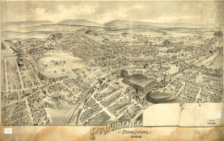
Larger Map (1.4); 4 Sections - left to right: First; Second; Third; Fourth
Scranton 1890
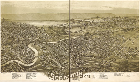
Larger Map (2.7MB); 4 Sections - left to right: First; Second; Third; Fourth
West Newton 1900
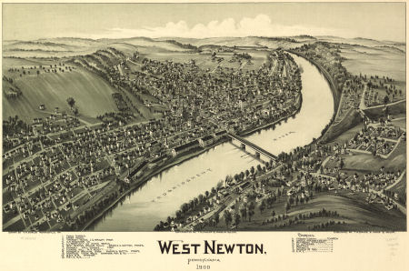
Larger Map (1.3MB); Left; Center; Right
These map added to the site by Susan Pieroth,2008, 2022
Library of Congress American Memories Panoramic Maps website
Each map is displayed in a small format (450 pixels) which, when clicked, brings up a larger (1200 pixel) size. You can't read much in that size, but it helps getting oriented. A larger size in one piece (2400 to 3000 pixels) can be downloaded by those with high speed connections or a lot of patience. The same larger image is also available in three or four sections that will overlap slightly. These are not only designed for easier download, but for printing. For best results, open the images in a graphics program for printing. Following each is the link to the Library of Congress page where the original can be viewed in the original size, but only in sections when zoomed on that website.
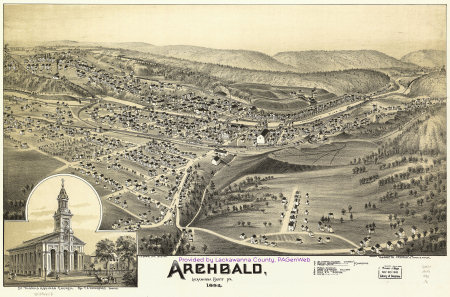
Archbald 1892

Larger map (1.5MB); Left side; Center; Right side
Carbondale 1890

Larger Map (2MB); 4 Sections - left to right: First; Second; Third; Fourth
Dunmore 1892

Larger Map (2MB); 4 Sections - left to right: First; Second; Third; Fourth
Elmhurst 1891

Larger Map (3MB)
Jermyn 1889

Larger Map (1.3MB); Left; Center; Right
Moosic 1892

Larger Map (1.3MB); Left; Center; Right
Moscow 1891

Larger Map (1.7MB); Left; Center; Right
Pittston and West Pittston 1892

Larger Map (1.4MB); Left; Center; Right
Providence (North Scranton) 1892
This map does not have as much detail (very few street names) as the others.

Larger Map (1.4); 4 Sections - left to right: First; Second; Third; Fourth
Scranton 1890

Larger Map (2.7MB); 4 Sections - left to right: First; Second; Third; Fourth
West Newton 1900

Larger Map (1.3MB); Left; Center; Right
These map added to the site by Susan Pieroth,2008, 2022
Library of Congress American Memories Panoramic Maps website
Return to the Map Index
Return
to the Lackawanna County
PAGenWeb Home Page
This document and information is made available free to the public for non-commercial purposes by the Lackawanna County, PAGenWeb Project.